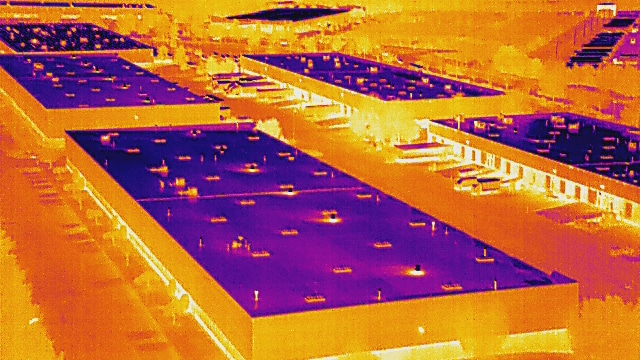
K+ UAS (Formally K+) started out as a creative tech workshop specializing in 3D design and fabrication. But as drones emerged as powerful tools in commercial applications, we saw a bigger opportunity: to take our technical expertise to the skies and bring innovation to industries that rely on data and precision.
Driven by that vision, we transitioned from a product-based studio to a full-service aerial operations company. Today, K+ offers a wide range of drone services from thermal inspections and aerial mapping to progress monitoring and 3D modeling helping clients solve complex challenges with data that’s actionable, accurate, and delivered fast.
Our Mission
To empower professionals and organizations with aerial intelligence that drives better, faster decisions without compromising safety, quality, or efficiency.
Our Vision
To become the leading provider of unmanned aerial services in North America, transforming the way industries gather, analyze, and act on spatial data.
Elevating Industry with Aerial Intelligence
At K+ Unmanned Aerial Services, we help businesses see the bigger picture, literally. From our humble beginnings as a 3D printing and prototyping company, we’ve evolved into a cutting-edge drone services provider committed to delivering high-precision aerial data, safely and efficiently.
Our journey has taken us from ground-level creativity to sky-high solutions, and we now serve industries like construction, energy, agriculture, telecommunications, and infrastructure with unmanned aerial expertise rooted in reliability, innovation, and integrity.
What Sets Us Apart
✅ FAA-Certified & Fully Insured
All our pilots are licensed under FAA Part 107, and we carry comprehensive drone liability insurance for peace of mind.
✅ Professional-Grade Equipment
We fly industry-standard UAV platforms like the DJI Matrice 300, Mavic 3E, and Autel Evo II Pro with advanced payloads (thermal, RTK, LiDAR-ready).
✅ End-to-End Solutions
From flight planning to post-processed deliverables, we handle the entire workflow so you can focus on what matters—making informed decisions.
✅ Quick Turnaround & Nationwide Reach
We offer data delivery in as little as 24–72 hours, and our team can deploy across the U.S. for large-scale or multi-site projects.
✅ Cross-Industry Experience
We’re trusted by clients in construction, utilities, agriculture, real estate, telecom, and more.